
墨脱县 topographic map
Interactive map
Click on the map to display elevation.
About this map
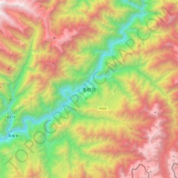
Name: 墨脱县 topographic map, elevation, terrain.
Location: 墨脱县, 墨脱镇, 墨脱县, 林芝市, 西藏自治区, 中国 (29.16845 95.17089 29.48845 95.49089)
Average elevation: 7,779 ft
Minimum elevation: 2,073 ft
Maximum elevation: 15,282 ft
墨脱县位于西藏东南部,东与察隅县相连,西与米林县和林芝县相邻,北与波密县相接,南与印度接壤。平均海拔1,200米,县城海拔1,100米。