
Carthagena topographic map
Interactive map
Click on the map to display elevation.
About this map
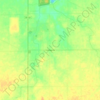
Name: Carthagena topographic map, elevation, terrain.
Location: Carthagena, Mercer County, Ohio, États-Unis d'Amérique (40.41671 -84.57996 40.45671 -84.53996)
Average elevation: 925 ft
Minimum elevation: 860 ft
Maximum elevation: 965 ft