
Ahmethacılar topographic map
Interactive map
Click on the map to display elevation.
About this map
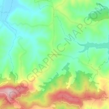
Name: Ahmethacılar topographic map, elevation, terrain.
Location: Ahmethacılar, Kandıra, Kocaeli, Marmara Region, Turkey (40.87700 30.11954 40.91700 30.15954)
Average elevation: 741 ft
Minimum elevation: 351 ft
Maximum elevation: 1,414 ft