
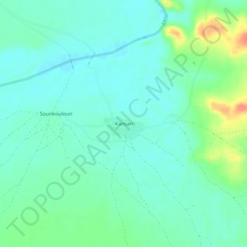
Kansan topographic map
Interactive map
Click on the map to display elevation.
About this map
Name: Kansan topographic map, elevation, terrain.
Location: Kansan, Kankan, Guinea (10.98719 -9.18817 11.02719 -9.14817)
Average elevation: 1,171 ft
Minimum elevation: 1,129 ft
Maximum elevation: 1,286 ft