
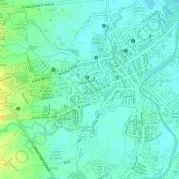
Barangay San Jose Health Center topographic map
Interactive map
Click on the map to display elevation.
About this map
Name: Barangay San Jose Health Center topographic map, elevation, terrain.
Average elevation: 36 ft
Minimum elevation: 7 ft
Maximum elevation: 95 ft
Other topographic maps
Click on a map to view its topography, its elevation and its terrain.
Balanga
Philippines > Bataan > Balanga
Balanga, Bataan, Central Luzon, 2100, Philippines
Average elevation: 440 ft
Tuyo
Philippines > Bataan > Balanga
Tuyo, Balanga, Bataan, Central Luzon, 2100, Philippines
Average elevation: 33 ft
Bagong Silang
Philippines > Bataan > Balanga
Bagong Silang, Balanga, Bataan, Central Luzon, 2101, Philippines
Average elevation: 125 ft
Sibacan
Philippines > Bataan > Balanga
Sibacan, Balanga, Bataan, Central Luzon, 2100, Philippines
Average elevation: 16 ft