
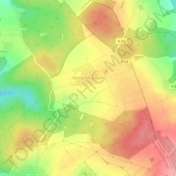
Reidenhausen topographic map
Interactive map
Click on the map to display elevation.
About this map
Name: Reidenhausen topographic map, elevation, terrain.
Average elevation: 1,427 ft
Minimum elevation: 1,201 ft
Maximum elevation: 1,601 ft
Reidenhausen liegt auf einem Höhenzug im nördlichen Hunsrück, der zur Mosel hin abfällt.