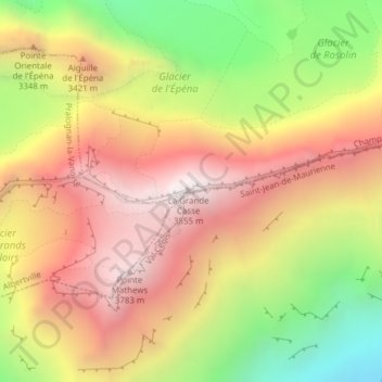
La Grande Casse topographic map
Interactive map
Click on the map to display elevation.
About this map
Name: La Grande Casse topographic map, elevation, terrain.
Average elevation: 10,177 ft
Minimum elevation: 7,326 ft
Maximum elevation: 12,510 ft

Click on the map to display elevation.
Name: La Grande Casse topographic map, elevation, terrain.
Average elevation: 10,177 ft
Minimum elevation: 7,326 ft
Maximum elevation: 12,510 ft