
Volkegem topographic map
Interactive map
Click on the map to display elevation.
About this map
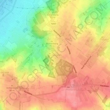
Name: Volkegem topographic map, elevation, terrain.
Location: Volkegem, Oudenaarde, Oost-Vlaanderen, Vlaanderen, België (50.82687 3.61287 50.85095 3.65718)
Average elevation: 203 ft
Minimum elevation: 26 ft
Maximum elevation: 318 ft