
Montsonís topographic map
Interactive map
Click on the map to display elevation.
About this map
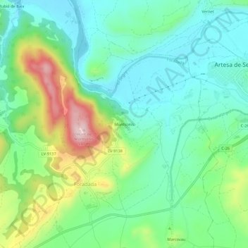
Name: Montsonís topographic map, elevation, terrain.
Location: Montsonís, Foradada, Noguera, Lérida, Cataluña, 25737, España (41.86663 1.00277 41.90663 1.04277)
Average elevation: 1,230 ft
Minimum elevation: 938 ft
Maximum elevation: 1,909 ft