
Palanda topographic map
Interactive map
Click on the map to display elevation.
About this map
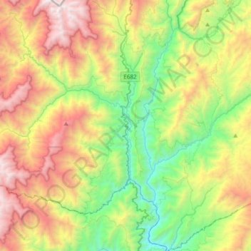
Name: Palanda topographic map, elevation, terrain.
Location: Palanda, Cantón Palanda, Zamora Chinchipe, Ecuador (-4.76098 -79.39629 -4.54782 -79.09586)
Average elevation: 6,234 ft
Minimum elevation: 2,562 ft
Maximum elevation: 11,818 ft