
Arnborg topographic map
Interactive map
Click on the map to display elevation.
About this map
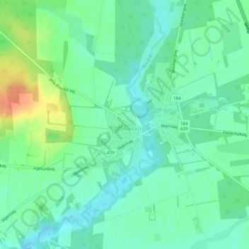
Name: Arnborg topographic map, elevation, terrain.
Location: Arnborg, Herning Municipality, Central Denmark Region, Denmark (56.00919 8.97706 56.02002 8.99755)
Average elevation: 131 ft
Minimum elevation: 85 ft
Maximum elevation: 230 ft