
Le Borza topographic map
Interactive map
Click on the map to display elevation.
About this map
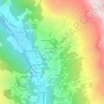
Name: Le Borza topographic map, elevation, terrain.
Location: Le Borza, Villa (Evolène), Evolène, Hérens, Valais, 1983, Suisse (46.08532 7.49353 46.12532 7.53353)
Average elevation: 6,381 ft
Minimum elevation: 4,344 ft
Maximum elevation: 9,724 ft