
Towhid topographic map
Interactive map
Click on the map to display elevation.
About this map
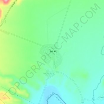
Name: Towhid topographic map, elevation, terrain.
Location: Towhid, بخش هلیلان, Chardavol County, Ilam Province, Iran (33.70766 47.04767 33.74766 47.08767)
Average elevation: 3,084 ft
Minimum elevation: 2,900 ft
Maximum elevation: 3,570 ft