
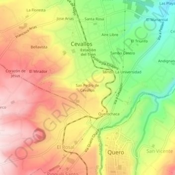
San Pedro de Cevallos topographic map
Interactive map
Click on the map to display elevation.
About this map
Name: San Pedro de Cevallos topographic map, elevation, terrain.
Location: San Pedro de Cevallos, Cevallos, Tungurahua, 180403, Ecuador (-1.38499 -78.63506 -1.34499 -78.59506)
Average elevation: 9,633 ft
Minimum elevation: 8,957 ft
Maximum elevation: 10,200 ft