
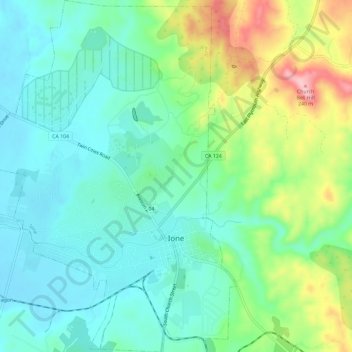
Ione topographic map
Interactive map
Click on the map to display elevation.
About this map
Name: Ione topographic map, elevation, terrain.
Location: Ione, Amador County, California, United States (38.33778 -120.96493 38.38390 -120.92252)
Average elevation: 413 ft
Minimum elevation: 256 ft
Maximum elevation: 794 ft