Trou Loubarès topographic map
Interactive map
Click on the map to display elevation.
About this map
Name: Trou Loubarès topographic map, elevation, terrain.
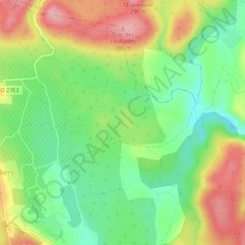
Average elevation: 669 ft
Minimum elevation: 472 ft
Maximum elevation: 922 ft

Click on the map to display elevation.
Name: Trou Loubarès topographic map, elevation, terrain.
Average elevation: 669 ft
Minimum elevation: 472 ft
Maximum elevation: 922 ft