
Copping topographic map
Interactive map
Click on the map to display elevation.
About this map
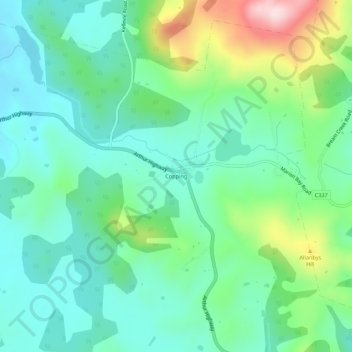
Name: Copping topographic map, elevation, terrain.
Location: Copping, Tasmania, Australia (-42.84052 147.78149 -42.80052 147.82149)
Average elevation: 427 ft
Minimum elevation: 141 ft
Maximum elevation: 1,194 ft
Other topographic maps
Click on a map to view its topography, its elevation and its terrain.