
Crown Peak topographic map
Interactive map
Click on the map to display elevation.
About this map
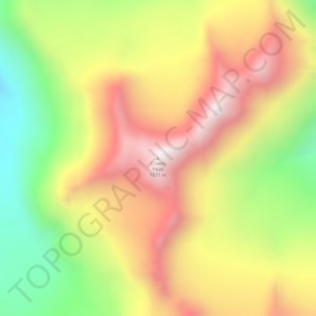
Name: Crown Peak topographic map, elevation, terrain.
Location: Crown Peak, Anchorage, Alaska, États-Unis d'Amérique (61.19346 -148.56008 61.19356 -148.55998)
Average elevation: 4,229 ft
Minimum elevation: 2,680 ft
Maximum elevation: 5,669 ft
Other topographic maps
Click on a map to view its topography, its elevation and its terrain.
Roost
États-Unis d'Amérique > Alaska > Anchorage
Roost, Anchorage, Alaska, États-Unis d'Amérique
Average elevation: 1,526 ft
Anchorage
États-Unis d'Amérique > Alaska > Anchorage
Anchorage, Alaska, 99501, États-Unis d'Amérique
Average elevation: 407 ft