
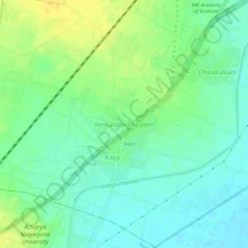
Venkatareddipalem topographic map
Interactive map
Click on the map to display elevation.
About this map
Name: Venkatareddipalem topographic map, elevation, terrain.
Average elevation: 75 ft
Minimum elevation: 46 ft
Maximum elevation: 115 ft
Other topographic maps
Click on a map to view its topography, its elevation and its terrain.
Mangalagiri
India > Andhra Pradesh > Mangalagiri
Mangalagiri, Guntur, Andhra Pradesh, 522500, India
Average elevation: 95 ft