
Montjuïc topographic map
Interactive map
Click on the map to display elevation.
About this map
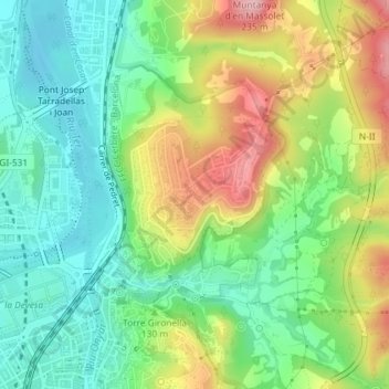
Name: Montjuïc topographic map, elevation, terrain.
Location: Montjuïc, Gerona, Gironés, Gerona, Cataluña, España (41.98935 2.82614 42.00025 2.84075)
Average elevation: 400 ft
Minimum elevation: 177 ft
Maximum elevation: 758 ft
Other topographic maps
Click on a map to view its topography, its elevation and its terrain.