
Hesston topographic map
Interactive map
Click on the map to display elevation.
About this map
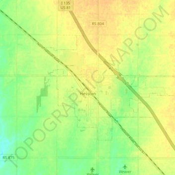
Name: Hesston topographic map, elevation, terrain.
Location: Hesston, Harvey County, Kansas, 67062, United States (38.12198 -97.45093 38.15929 -97.37181)
Average elevation: 1,476 ft
Minimum elevation: 1,424 ft
Maximum elevation: 1,509 ft
Other topographic maps
Click on a map to view its topography, its elevation and its terrain.
Sedgwick
United States > Kansas > Harvey County
Sedgwick, Harvey County, Kansas, United States
Average elevation: 1,381 ft
Newton
United States > Kansas > Harvey County
Newton, Harvey County, Kansas, United States
Average elevation: 1,463 ft
Burrton
United States > Kansas > Harvey County
Burrton, Harvey County, Kansas, United States
Average elevation: 1,453 ft