
Devrez Çayı topographic map
Interactive map
Click on the map to display elevation.
About this map
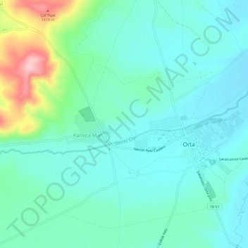
Name: Devrez Çayı topographic map, elevation, terrain.
Location: Devrez Çayı, Orta, Çankırı, İç Anadolu Bölgesi, Turquie (40.62525 33.06440 40.63573 33.12110)
Average elevation: 4,216 ft
Minimum elevation: 4,078 ft
Maximum elevation: 4,705 ft
Other topographic maps
Click on a map to view its topography, its elevation and its terrain.
Düzağaç Çayı
Düzağaç Çayı, Yuva, Orta, Çankırı, İç Anadolu Bölgesi, Turquie
Average elevation: 4,295 ft