
Charneca topographic map
Interactive map
Click on the map to display elevation.
About this map
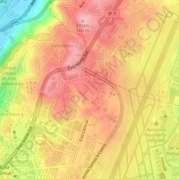
Name: Charneca topographic map, elevation, terrain.
Location: Charneca, Santa Clara, Lisbonne, Portugal (38.77626 -9.15962 38.79585 -9.13852)
Average elevation: 358 ft
Minimum elevation: 43 ft
Maximum elevation: 531 ft
Other topographic maps
Click on a map to view its topography, its elevation and its terrain.