
Mingo Town topographic map
Interactive map
Click on the map to display elevation.
About this map
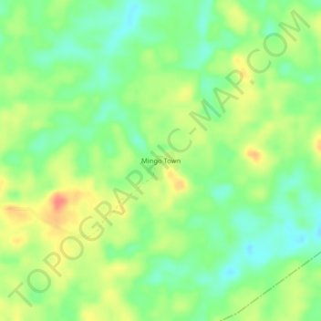
Name: Mingo Town topographic map, elevation, terrain.
Location: Mingo Town, Cavala, Grand Gedeh County, Liberia (6.21752 -7.98620 6.25752 -7.94620)
Average elevation: 751 ft
Minimum elevation: 673 ft
Maximum elevation: 846 ft