
Raga topographic map
Interactive map
Click on the map to display elevation.
About this map
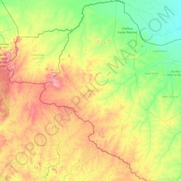
Name: Raga topographic map, elevation, terrain.
Location: Raga, Western Bahr el Ghazal, South Sudan (6.64984 24.14083 10.43900 26.92903)
Average elevation: 2,037 ft
Minimum elevation: 1,362 ft
Maximum elevation: 4,226 ft