
皂河镇 topographic map
Interactive map
Click on the map to display elevation.
About this map
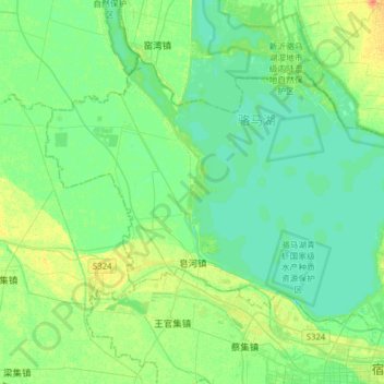
Name: 皂河镇 topographic map, elevation, terrain.
Location: 皂河镇, 宿豫区, 宿迁市, 江苏省, 中国 (33.99404 117.98894 34.17213 118.30122)
Average elevation: 75 ft
Minimum elevation: 46 ft
Maximum elevation: 148 ft
Other topographic maps
Click on a map to view its topography, its elevation and its terrain.