
Killdeer topographic map
Interactive map
Click on the map to display elevation.
About this map
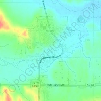
Name: Killdeer topographic map, elevation, terrain.
Location: Killdeer, Dunn County, North Dakota, 58640, United States (47.35747 -102.76636 47.37585 -102.74237)
Average elevation: 2,274 ft
Minimum elevation: 2,221 ft
Maximum elevation: 2,418 ft