
Presidio topographic map
Interactive map
Click on the map to display elevation.
About this map
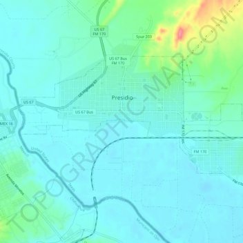
Name: Presidio topographic map, elevation, terrain.
Location: Presidio, Presidio County, Texas, USA (29.54590 -104.39558 29.57170 -104.34046)
Average elevation: 2,602 ft
Minimum elevation: 2,546 ft
Maximum elevation: 2,861 ft