
Brida topographic map
Interactive map
Click on the map to display elevation.
About this map
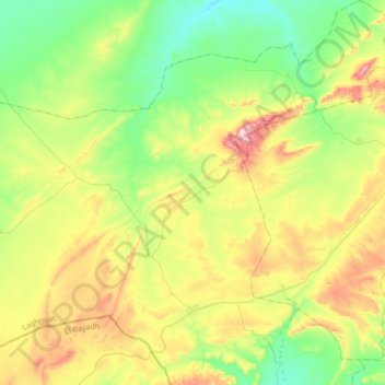
Name: Brida topographic map, elevation, terrain.
Location: Brida, Daïra Brida, Laghouat, Algérie (33.85144 1.69939 34.13375 1.96840)
Average elevation: 4,521 ft
Minimum elevation: 3,940 ft
Maximum elevation: 5,600 ft