
Saint-Paul-en-Chablais topographic map
Interactive map
Click on the map to display elevation.
About this map
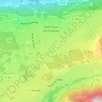
Name: Saint-Paul-en-Chablais topographic map, elevation, terrain.
Average elevation: 2,802 ft
Minimum elevation: 1,759 ft
Maximum elevation: 4,518 ft