
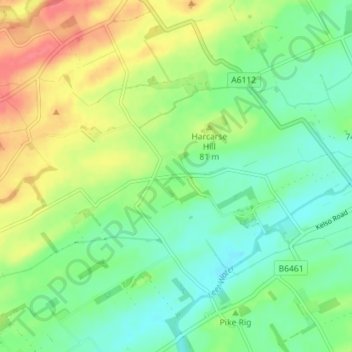
Langbank topographic map
Interactive map
Click on the map to display elevation.
About this map
Name: Langbank topographic map, elevation, terrain.
Location: Langbank, Scottish Borders, Scotland, TD11, United Kingdom (55.70137 -2.32527 55.74137 -2.28527)
Average elevation: 230 ft
Minimum elevation: 154 ft
Maximum elevation: 348 ft