
Tanoa topographic map
Interactive map
Click on the map to display elevation.
About this map
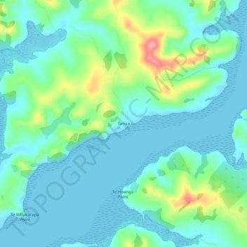
Name: Tanoa topographic map, elevation, terrain.
Location: Tanoa, Kaipara District, Northland, New Zealand (-36.22826 174.32103 -36.18826 174.36103)
Average elevation: 82 ft
Minimum elevation: 0 ft
Maximum elevation: 364 ft