
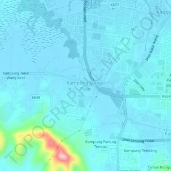
Kampong Sungai Pasir topographic map
Interactive map
Click on the map to display elevation.
About this map
Name: Kampong Sungai Pasir topographic map, elevation, terrain.
Location: Kampong Sungai Pasir, Kuala Muda, Kedah, 08600, Malaysia (5.59762 100.44404 5.63762 100.48404)
Average elevation: 66 ft
Minimum elevation: 3 ft
Maximum elevation: 686 ft