
Bruckmühl topographic map
Interactive map
Click on the map to display elevation.
About this map
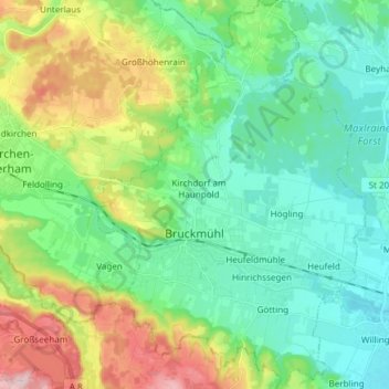
Name: Bruckmühl topographic map, elevation, terrain.
Location: Bruckmühl, Landkreis Rosenheim, Bayern, 83052, Deutschland (47.84248 11.87655 47.94310 11.98158)
Average elevation: 1,795 ft
Minimum elevation: 1,568 ft
Maximum elevation: 2,346 ft