
Pine Island topographic map
Interactive map
Click on the map to display elevation.
About this map
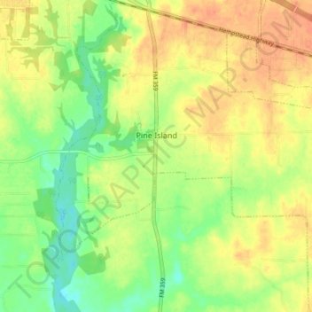
Name: Pine Island topographic map, elevation, terrain.
Location: Pine Island, Waller County, Texas, United States (30.02157 -96.06137 30.08559 -95.98964)
Average elevation: 210 ft
Minimum elevation: 141 ft
Maximum elevation: 266 ft