
سیج topographic map
Interactive map
Click on the map to display elevation.
About this map
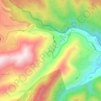
Name: سیج topographic map, elevation, terrain.
Location: سیج, بخش مرکزی, Astara County, Gilan Province, Iran (38.37214 48.61305 38.41214 48.65305)
Average elevation: 2,208 ft
Minimum elevation: 991 ft
Maximum elevation: 3,451 ft