
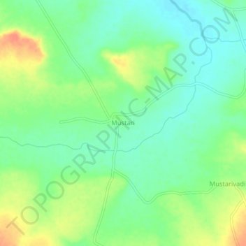
Mustari topographic map
Interactive map
Click on the map to display elevation.
About this map
Name: Mustari topographic map, elevation, terrain.
Location: Mustari, Humanabad taluku, Bidar district, Karnataka, India (17.63330 77.22908 17.67330 77.26908)
Average elevation: 2,034 ft
Minimum elevation: 1,978 ft
Maximum elevation: 2,123 ft