
Fly topographic map
Interactive map
Click on the map to display elevation.
About this map
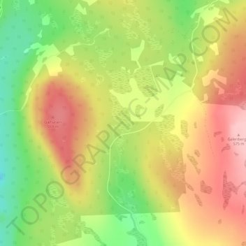
Name: Fly topographic map, elevation, terrain.
Location: Fly, Elverum, Innlandet, Norway (60.99873 11.62757 60.99883 11.62767)
Average elevation: 1,617 ft
Minimum elevation: 1,345 ft
Maximum elevation: 1,850 ft