
Stonewall topographic map
Interactive map
Click on the map to display elevation.
About this map
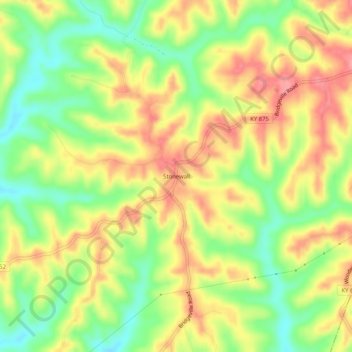
Name: Stonewall topographic map, elevation, terrain.
Location: Stonewall, Bracken County, Kentucky, 41044, United States (38.59924 -84.03132 38.63924 -83.99132)
Average elevation: 817 ft
Minimum elevation: 669 ft
Maximum elevation: 951 ft