
Thanh Hóa topographic map
Interactive map
Click on the map to display elevation.
About this map
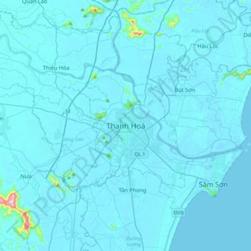
Name: Thanh Hóa topographic map, elevation, terrain.
Location: Thanh Hóa, Thanh Hoa, 0237, Vietnam (19.65172 105.61457 19.97172 105.93457)
Average elevation: 30 ft
Minimum elevation: -10 ft
Maximum elevation: 1,263 ft