
Saranac topographic map
Interactive map
Click on the map to display elevation.
About this map
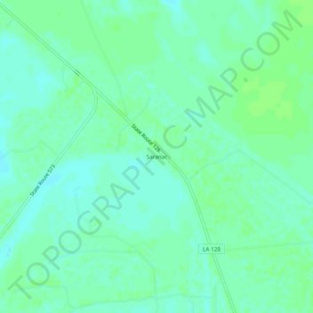
Name: Saranac topographic map, elevation, terrain.
Location: Saranac, Tensas Parish, Louisiana, United States (31.98932 -91.37289 32.02932 -91.33289)
Average elevation: 69 ft
Minimum elevation: 52 ft
Maximum elevation: 79 ft