
Thesinge topographic map
Interactive map
Click on the map to display elevation.
About this map
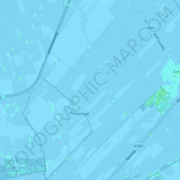
Name: Thesinge topographic map, elevation, terrain.
Location: Thesinge, Groningen, Nederland (53.24908 6.62585 53.29592 6.68110)
Average elevation: -3 ft
Minimum elevation: -10 ft
Maximum elevation: 13 ft