
Pithiviers topographic map
Interactive map
Click on the map to display elevation.
About this map
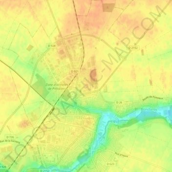
Name: Pithiviers topographic map, elevation, terrain.
Location: Pithiviers, Loiret, Centro, França metropolitana, 45300, França (48.16262 2.23038 48.19827 2.26982)
Average elevation: 397 ft
Minimum elevation: 312 ft
Maximum elevation: 433 ft