Geolocate

Inzell topographic map

Click on the map to display elevation.

About this map
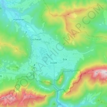
Name: Inzell topographic map, elevation, terrain.

Location: Inzell, Landkreis Traunstein, Bavaria, 83334, Germany (47.73287 12.71059 47.81037 12.84862)

Average elevation: 3,048 ft

Minimum elevation: 2,031 ft

Maximum elevation: 5,758 ft

Gear up for your next adventure:

🛰️Satellite Messengers - Emergency SOS and two-way messaging for off-grid adventures
🏥Hiking First Aid Kits - Comprehensive medical kits for remote trail injuries
🌡️Portable Weather Meter - Track weather conditions on the trail
🧼Biodegradable Camping Soap - Eco‑friendly soap for outdoor hygiene
🌐World Map Poster - Decorative world maps with topographic info

As an Amazon Associate, this site earns from qualifying purchases at no extra cost to you.