
Librilla topographic map
Interactive map
Click on the map to display elevation.
About this map
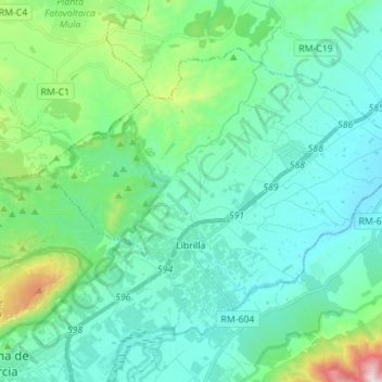
Name: Librilla topographic map, elevation, terrain.
Location: Librilla, Bajo Guadalentín, Región de Murcia, 30892, España (37.85980 -1.41066 37.94212 -1.27155)
Average elevation: 804 ft
Minimum elevation: 312 ft
Maximum elevation: 2,963 ft