
Trige topographic map
Interactive map
Click on the map to display elevation.
About this map
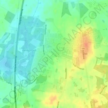
Name: Trige topographic map, elevation, terrain.
Location: Trige, Aarhus Municipality, Central Denmark Region, Denmark (56.24574 10.13140 56.25928 10.16307)
Average elevation: 233 ft
Minimum elevation: 180 ft
Maximum elevation: 308 ft