
Ravelo topographic map
Interactive map
Click on the map to display elevation.
About this map
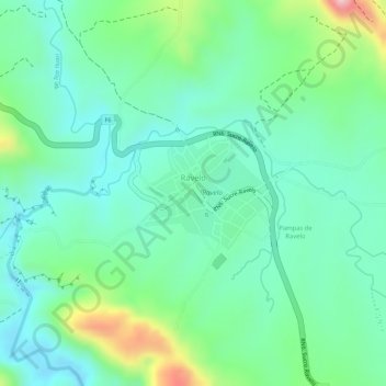
Name: Ravelo topographic map, elevation, terrain.
Location: Ravelo, Provincia Chayanta, Potosí, Bolivia (-18.81083 -65.51561 -18.80339 -65.50547)
Average elevation: 10,604 ft
Minimum elevation: 10,377 ft
Maximum elevation: 11,142 ft