
Haalderen topographic map
Interactive map
Click on the map to display elevation.
About this map
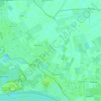
Name: Haalderen topographic map, elevation, terrain.
Location: Haalderen, Lingewaard, Gelderland, Nederland (51.87318 5.90995 51.90289 5.94693)
Average elevation: 36 ft
Minimum elevation: 16 ft
Maximum elevation: 59 ft