
Ashley Crossing topographic map
Interactive map
Click on the map to display elevation.
About this map
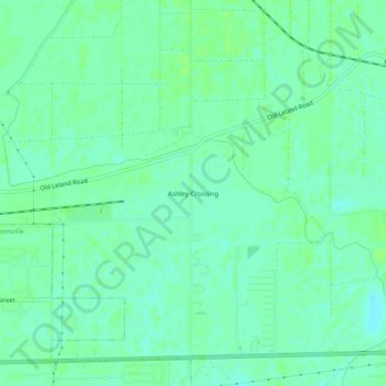
Name: Ashley Crossing topographic map, elevation, terrain.
Location: Ashley Crossing, Washington County, Mississippi, 38782, USA (33.39762 -91.00899 33.43762 -90.96899)
Average elevation: 121 ft
Minimum elevation: 105 ft
Maximum elevation: 131 ft