
Mogri topographic map
Interactive map
Click on the map to display elevation.
About this map
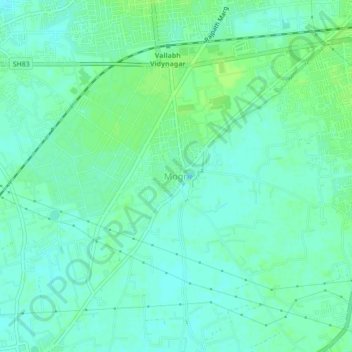
Name: Mogri topographic map, elevation, terrain.
Location: Mogri, Anand Taluka, Anand District, Gujarat, 388120, India (22.50758 72.91216 22.54758 72.95216)
Average elevation: 128 ft
Minimum elevation: 112 ft
Maximum elevation: 144 ft